If you love being outdoors, walking and exploring, then Sussex is the county for you! There is an amazing selection of long distance Sussex walks and trails here, and I hope a quick look at the following list will inspire you to get out and explore:

Sussex Border Path
Roughly following the Sussex border, the Sussex Border Path is 240 km and starts at Thorney Island in the west before wiggling its way to Rye. Along its route, it crosses the South Downs and Blackdown, passes Rudgwick and heads on to East Grinstead before heading north east to Wadhurst, Bodiam, Northiam and Rye.
It’s waymarked with signs showing a martlet, the heraldic bird on the Sussex flag and shield. What I love about this trail is that when you’re exploring the county, it seems to pop up all over the place.

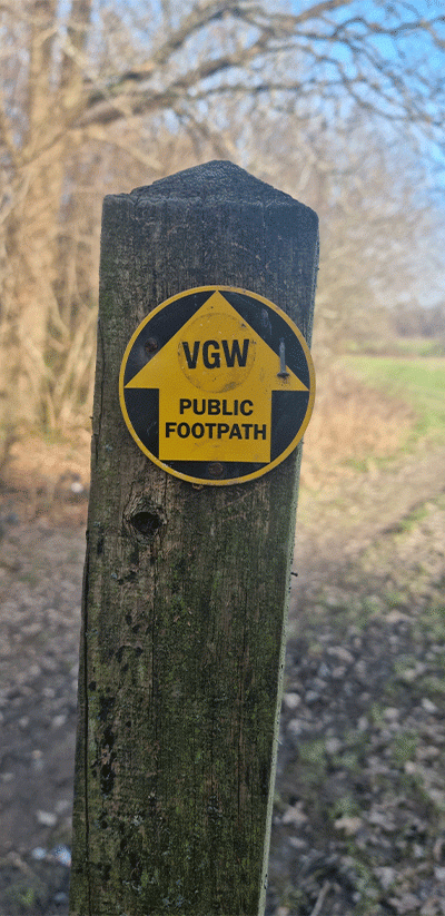
West Sussex Literary Trail
This is an 88 km trail that starts in Horsham and ends at Chichester Cathedral. From Horsham, it takes you to Pulborough then north of Arundel at Bury before heading west and then down to Chichester. It’s one of my favourites because I live along the route. As the name suggests, it follows various literary folk’s connections to the county including Percy Bysshe Shelley, John Galsworthy, Bob Copper, Hilaire Belloc, William Blake and John Keats.

1066 Country Walk
This 50 km walk starts at Pevensey Castle and finishes at Rye. It goes via Herstmonceux Castle, Battle and Winchelsea. Along the way, are 10 wooden sculptures inspired by the Bayeux Tapestry and the history of the area. You’ll find full details of the route here: 1066 Country Walk.

Monarch’s Way
Monarch’s Way actually starts in Worcester and is a 1,006 km trail that finishes in Shoreham. The Sussex section is roughly 90 km and follows the route that King Charles II took as he tried to escape the county having been defeated in battle. It’s waymarked along the way and enters West Sussex at Stansted Park in the west before passing West Dean, Goodwood, through the grounds of Arundel Castle, and on to Cissbury Ring, Steyning and Bramber before eventually arriving in Shoreham.

Serpent Trail
The Serpent Trail is a 103 km trail from Haslemere in Surrey to Petersfield in Hampshire. However most of the trail is in Sussex. It takes in Petworth, Fittleworth, Duncton, Midhurst, Blackdown, Woolbeding Common and Lavington Common and includes some fantastic countryside. It’s waymarked and route forms an S shape, hence the name.

High Weald Landscape Trail
The High Weald Landscape Trail is a 145 km trail that starts in Horsham and ends in Rye (it does stray briefly into Kent). It starts by taking you through St Leonard’s Forest before heading down to Cuckfield and then back up to East Grinstead, Tunbridge Wells and then down to Rye. There are lots of points of interest along the way and it’s waymarked.

Vanguard Way
Starting in East Croydon, this 106 km trail finishes in Newhaven. For the Sussex part, it comes into Sussex and passes through Ashdown Forest, over the South Downs and via the Cuckmere Valley to Seaford Head and Newhaven.
Sussex Ouse Valley Way
This 68 km trail unsurprisingly follows the route of the River Ouse. It starts in Lower Beeding near Horsham and heads over to Lewes before making its way to Newhaven and Seaford where it joins the Vanguard Way. The trail doesn’t always exactly follow the path of the river because of rights of way issues but this means it takes in some fabulous scenery.

The Downs Link
Running the course of a disused railway line, the Downs Link joins the North Downs Way in Surrey with Shoreham. It’s 59 km long and pretty flat. It passes close to Horsham, Henfield, Steyning and Bramber. It enters Sussex near Rudgwick where the Milk Churn makes for a good refreshment point.

Saxon Shore Way
Starting in Gravesend in Kent, this 262 km trail follows the old Roman coast to Hastings (although because the shoreline has changed it’s not always a coastal path). It enters Sussex near Rye and then goes via Winchelsea and on to Hastings.

Wealdway
Connecting the Thames Estuary with the English Channel, this is another trail that starts out of county in Gravesend but ends in Eastbourne. It’s 127 km and arrives in Sussex at Withyham and Ashdown Forest before passing Uckfield and heading on down to the Long Man at Wilmington, Jevington and Eastbourne. It’s waymarked.

Wey South Path
Starting at Shalford in Surrey, this trail follows the canal route of the River Wey and Arun and the navigational route that used to link London to the sea. It’s 58 km long and passes close to Billingshurst, Pulborough, and then ends at Houghton near Amberley. It passes through some wonderfully unpopulated areas!

Diamond Way
This 97 km trail travels from Midhurst to Heathfield. It has recently been re-waymarked and will take you via Petworth, Billingshurst, Bolney, Lindfield and Nutley.

New Lipchin Way
This 62 km trail takes you from Liphook (Hants) to Chichester Harbour. Its Sussex section includes Midhurst, Singleton, Chichester and West Wittering. It’s waymarked and of course, takes you through the South Downs and via river valleys to the coast.

The Midhurst Way
The Midhurst Way is a 47 km long route from Haslemere, via Midhurst that finishes up in Arundel. It takes in Lodsworth, Tillington, Coultershaw Bridge and Bignor along the way.

Centurion Way
Centurion Way in West Sussex runs from Chichester to West Dean and back. It follows the path of the old Chichester to Midhurst railway. It’s roughly 8.5 km each way.

The Royal Military Canal Path
This is mainly a canal-side path, the canal having been built in the early 19th century as a defence against a possible invasion by Napoleon. The canal is a Scheduled Ancient Monument. This trail is waymarked and starts in Pett Level in Sussex and finishes in Seabrook in Kent. It’s 43 km and takes in Rye and the fringes of Romney Marsh.

Worth Way and Forest Way
At 11 km, Worth Way is a shorter trail but joins up with other routes including Forest Way. It starts at Three Bridges and travels to East Grinstead along a disused railway line – meaning it has a pretty good surface most of the time.
Forest Way is a 16 km route that also follows a disused railway from East Grinstead to Groombridge via Forest Row and through a green corridor within the High Weald Area of Outstanding Natural Beauty.

The Cuckoo Trail
This is another trail that takes you along a disused railway and is 23 km. It runs from Heathfield via Horam and Hailsham and on to Polegate. There are a number of sculptures to look out for and it also forms part of National Cycle Route 21. It’s a good all-weather surface.

King Charles III England Coast Path
The new England Coast Path, now named the King Charles III England Coast Path, is now open and runs from Camber Sands in the east to Thorney Island in the west.

South Downs Way
Let’s finish big with the most famous Sussex long-distance footpath, the South Downs Way. Running from Eastbourne to Winchester, it’s a National Trail and is 161 km long. It’s reasonably challenging because it’s hilly but it affords some truly spectacular views and takes you through some great Sussex landscape.

I hope some of these long distance Sussex walks have inspired you to grab a map, your boots and a backpack and head out to explore. If you like this post, you may also be interested in:
Discover the South Downs
Discover Seven Sisters Country Park


